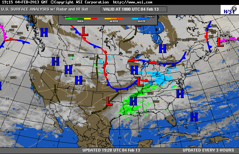
You can see the approaching low pressure system below, over Illinois-Indiana, spreading a region of light snow (blue colors) our way:
The regional-scale (high resolution) forecast models suggest that more of the snow will fall on the western slopes of the Appalachians (this type of event is called Upslope Snow). Air forced to ascend the 3,000-4,000 ft slopes, on a westerly wind, cools, and water vapor freezes out as snow. When the air comes back down, crossing the eastern slopes, the air warms and dries. Thus in the urban corridor (Baltimore-Washington) we often see greatly reduced precipitation (and sometimes, no precipitation at all) - in these situations, we experience a "snow shadow" effect.
You can see the upwind, upslope region of enhanced snow (green) and the downwind snow shadow in the tonight's regional forecast model graphic:

The NWS is forecasting 1"-2" across Baltimore. The event will be over by the morning rush, but side streets will likely be untreated. Note the high amounts being forecasted just west of the Appalachian Divide:

No comments:
Post a Comment